Rehearse the facility before you build it
A TORUS deployment is rehearsed as a cyber-physical twin. Terrain is reconstructed from mapping data, the full system is placed virtually, and unauthorized-entry scenarios are run against it before anyone digs a trench.
TORUS repository torus-isaac-sim repository Imagery library User and developer guide Parameter reference Build, deploy, and use
Everything on this page is simulation output
The images on this page are captures from the OpenUSD campus generator and
NVIDIA Isaac Sim scenes in torus-isaac-sim. They are not photographs, and
they are labelled separately from the concept collateral shown in the
imagery library.
NVIDIA credit
NVIDIA Isaac Sim, OpenUSD, Omniverse, PhysX, Jetson, and Orin are credited as NVIDIA technologies used or referenced by the TORUS deployment rehearsal.
01 · Why rehearse the facility
Optimal sensor placement for complete coverage is a set-cover and art-gallery problem, which is NP-hard. TORUS does not pretend otherwise. The coverage problem is approximated off-line in simulation, and only the zero-miss processing guarantee is made on-line. AI/HPC campuses are expensive to survey twice, so the plan is validated in the twin and then promoted into the live CCISRT picture.
In data center campus deployments the twin helps twice. The local noise floor is simulated first, so seismic thresholds and acoustic classifiers arrive on site pre-tuned against cooling plant, generator, and traffic background instead of by trial and error.
| Constraint | Simulation use |
|---|---|
| Coverage is hard | Approximate the set-cover / art-gallery problem off-line before committing hardware. |
| Survey cost | Validate ring geometry, visual coverage, and access routes before the field visit. |
| Local noise | Pre-tune seismic thresholds and acoustic classifiers against the simulated site background. |
| Operations handoff | Promote the commissioned plan into the live CCISRT picture. |
02 · Terrain and twin construction
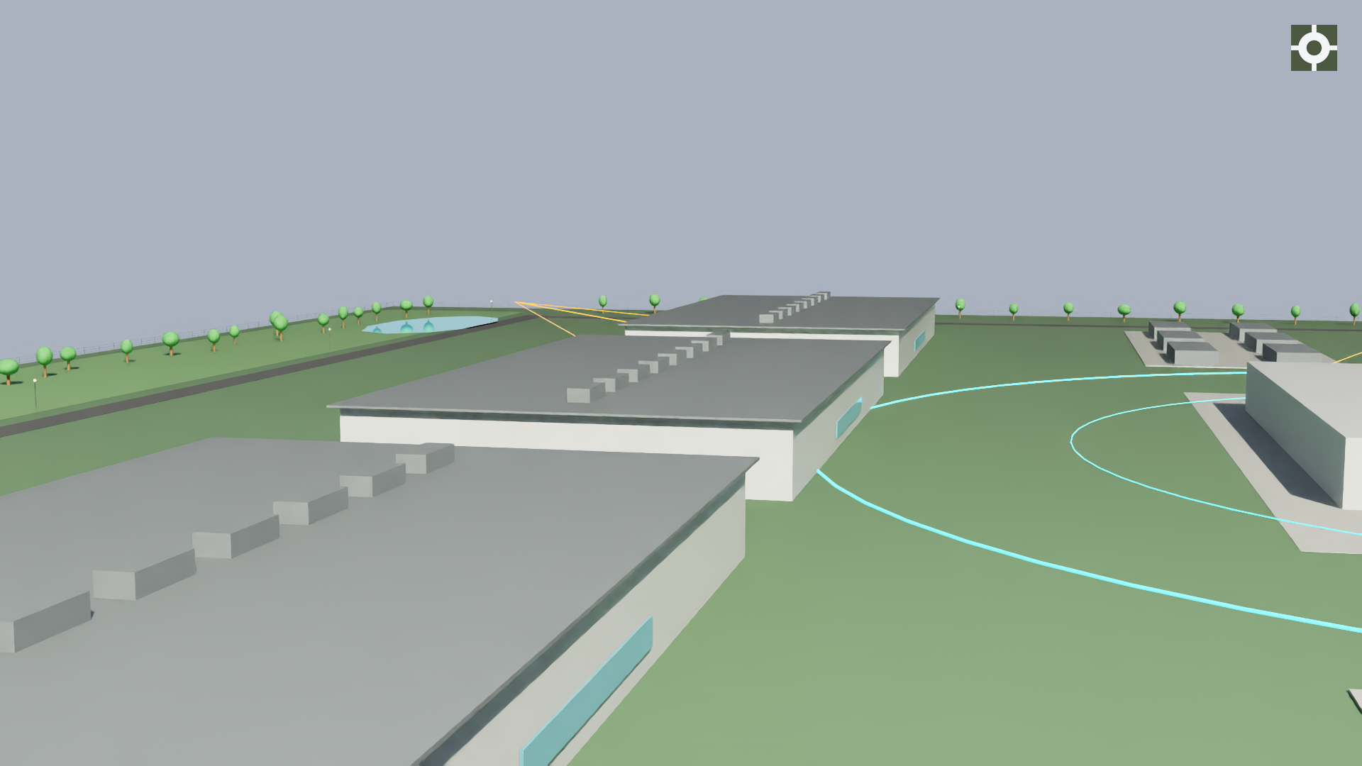
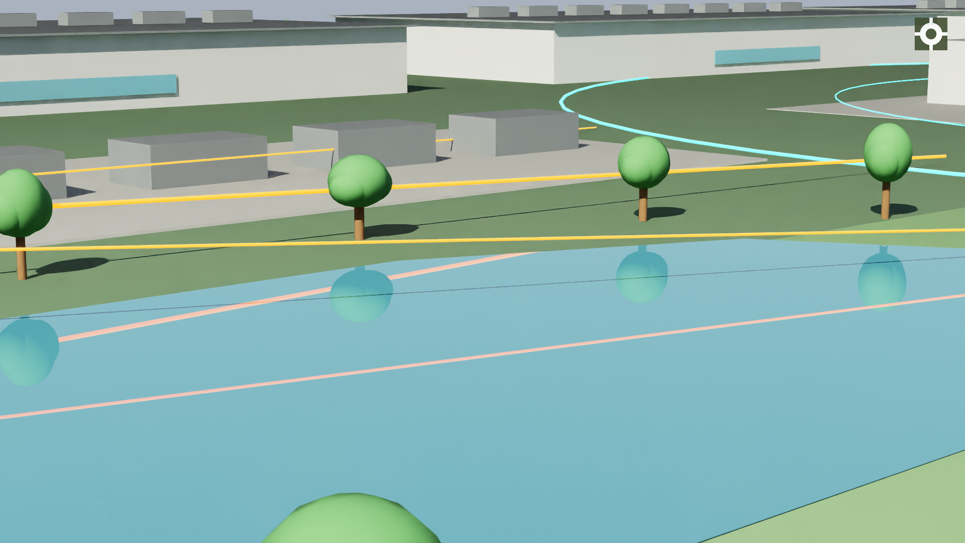
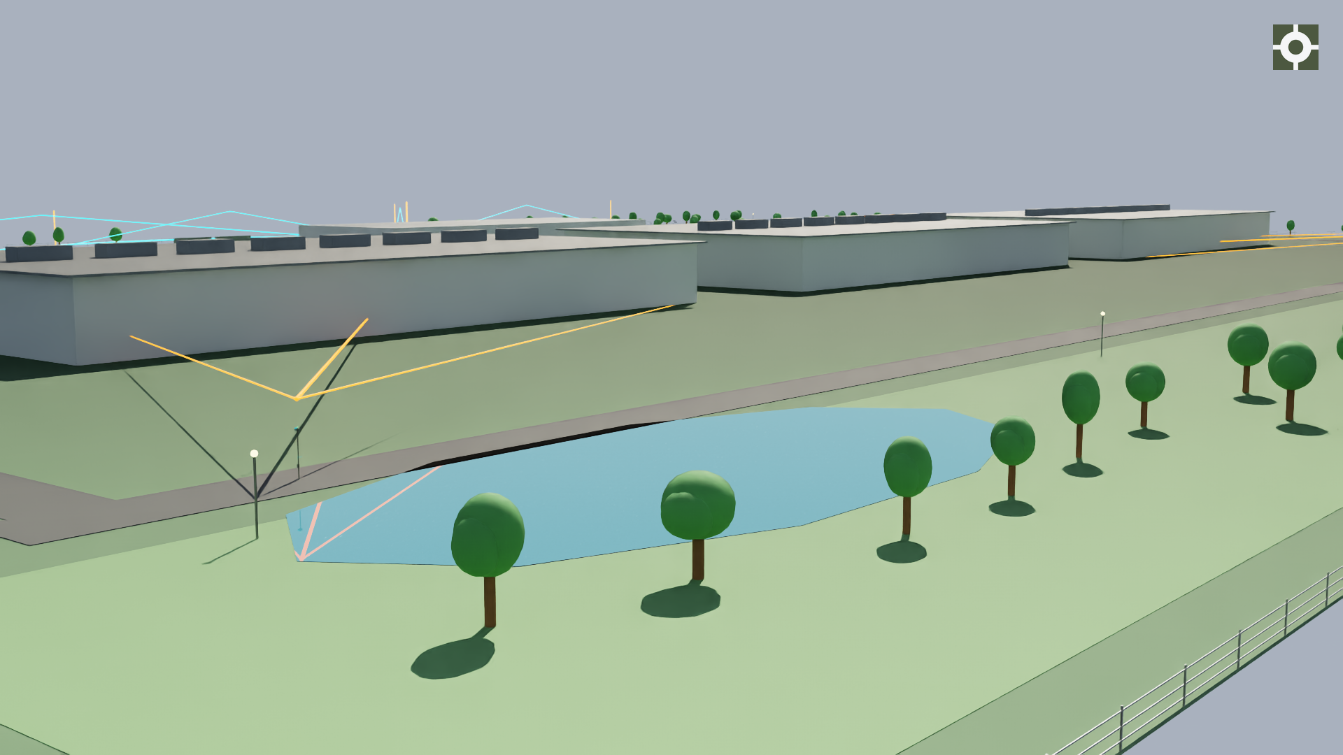
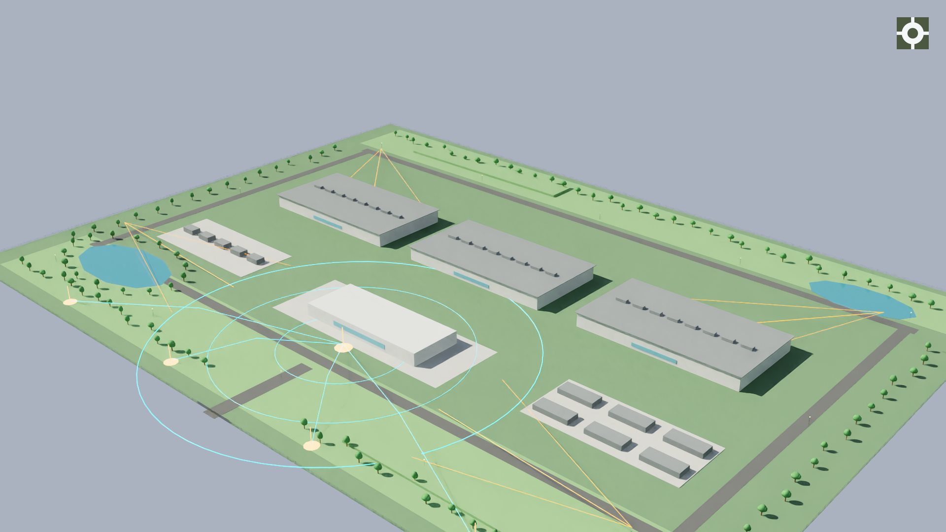
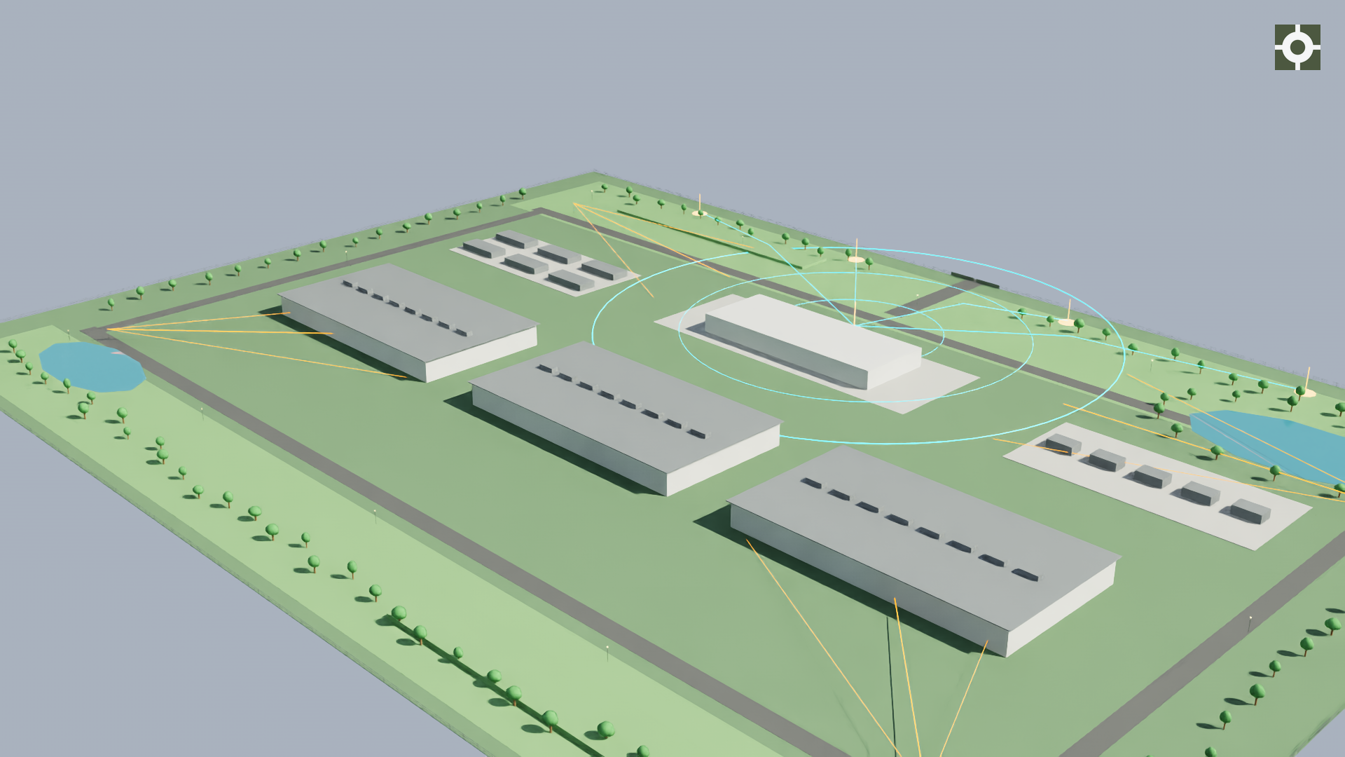
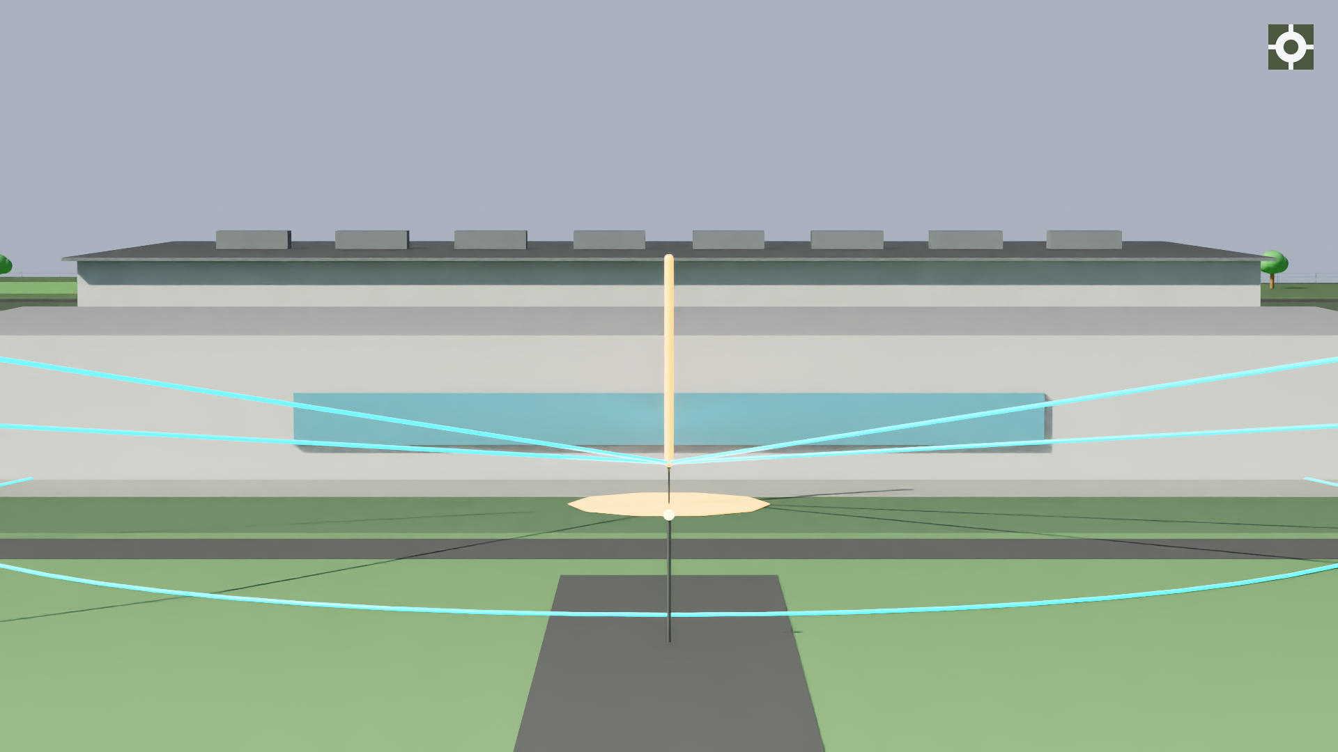
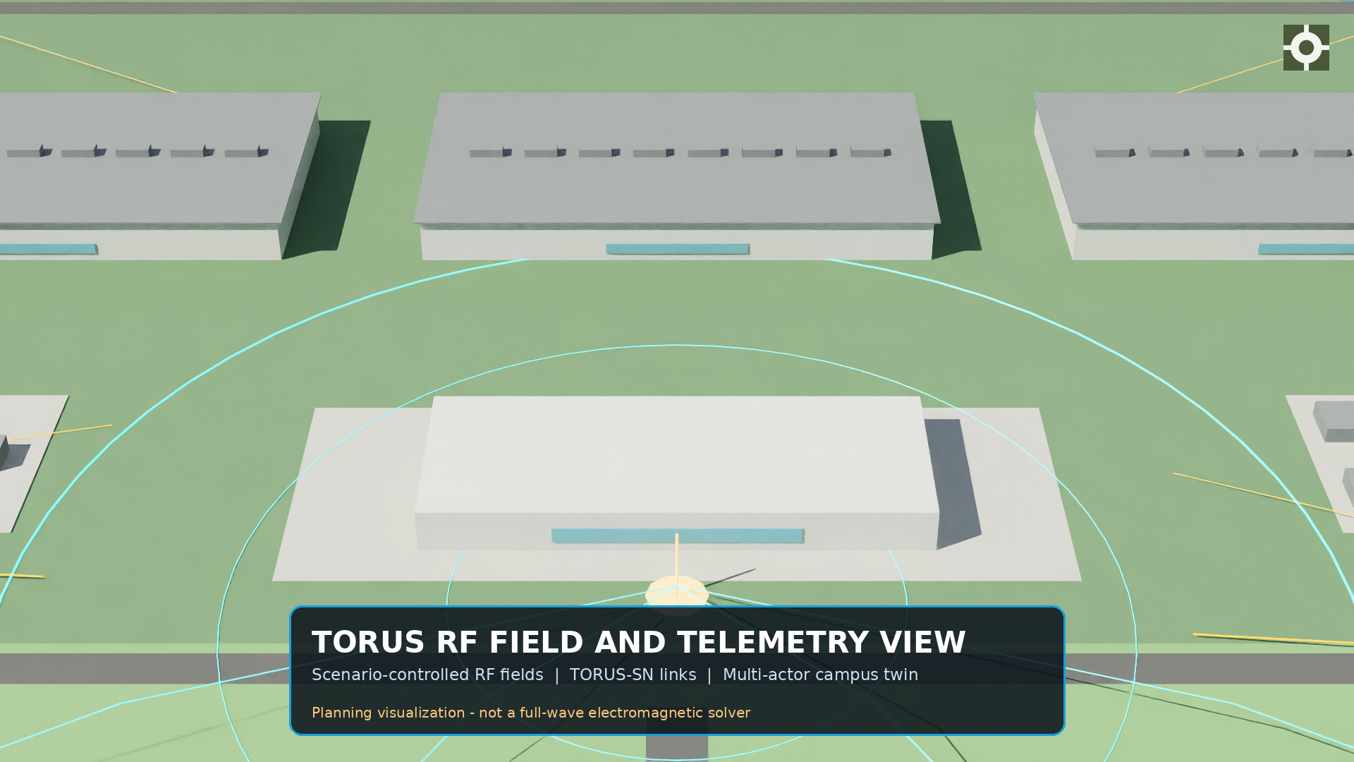
The generator builds a layered AI data center campus in OpenUSD: halls, infrastructure, habitat areas, roads, perimeter, and retention water. It is portable and dependency-free for planning, and loads into full Isaac Sim for physics and sensor simulation.
03 · Sensor placement and RF planning
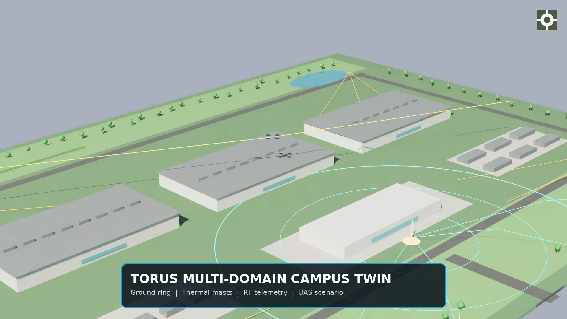
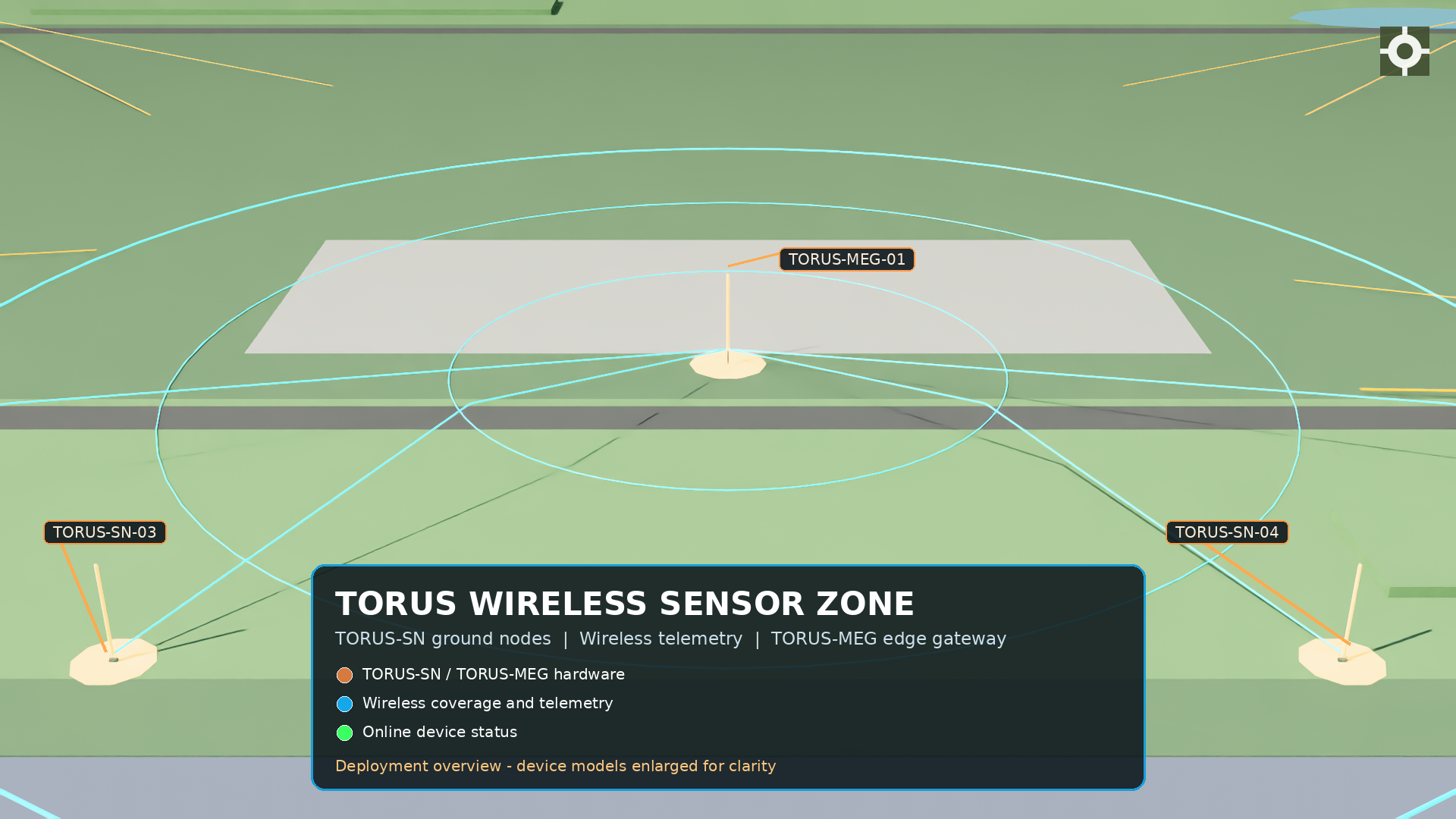
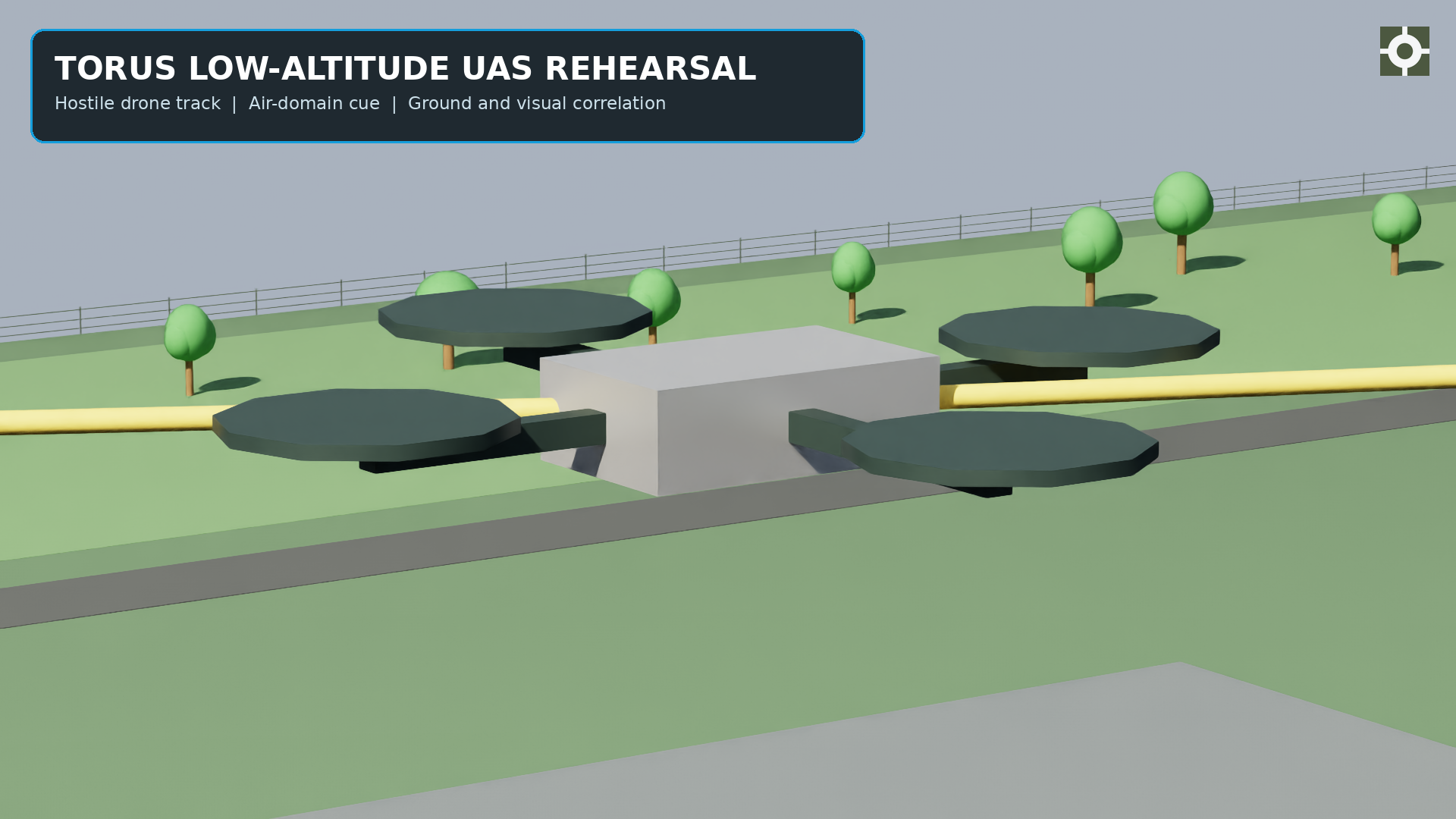
The planner places the ground ring, the gateways, and the visual masts, then evaluates coverage against the object classes the site cares about: human, vehicle, drone, and animal. All three UAGVIS domains are rehearsed in the same scene, so air, ground and visual coverage are planned against one another rather than in isolation.
04 · Procedural asset set
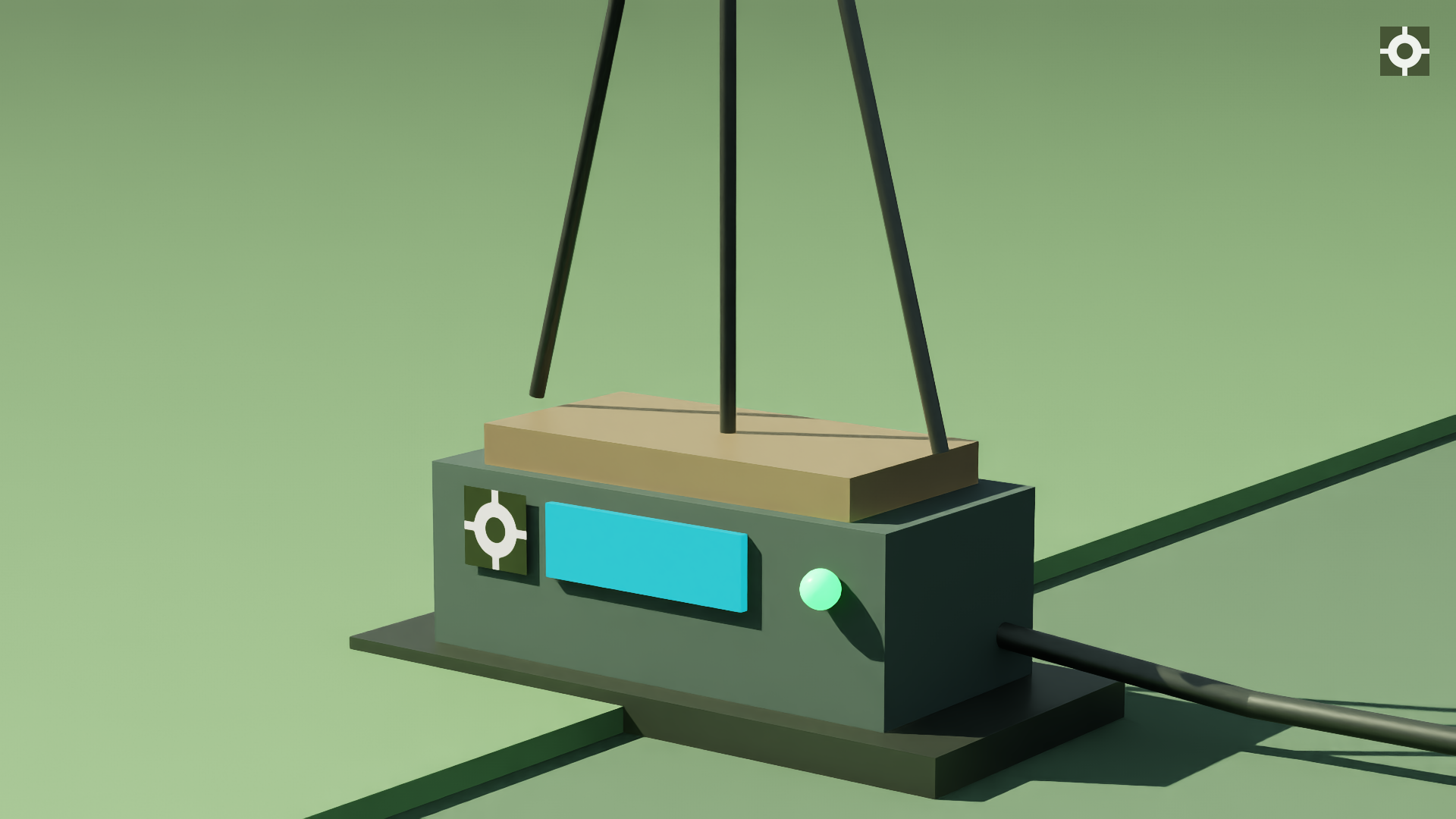
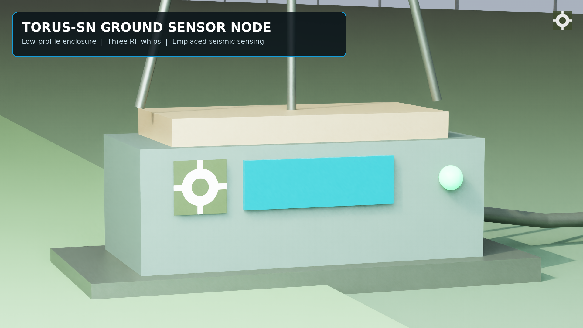
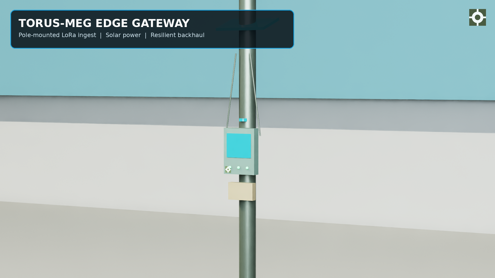
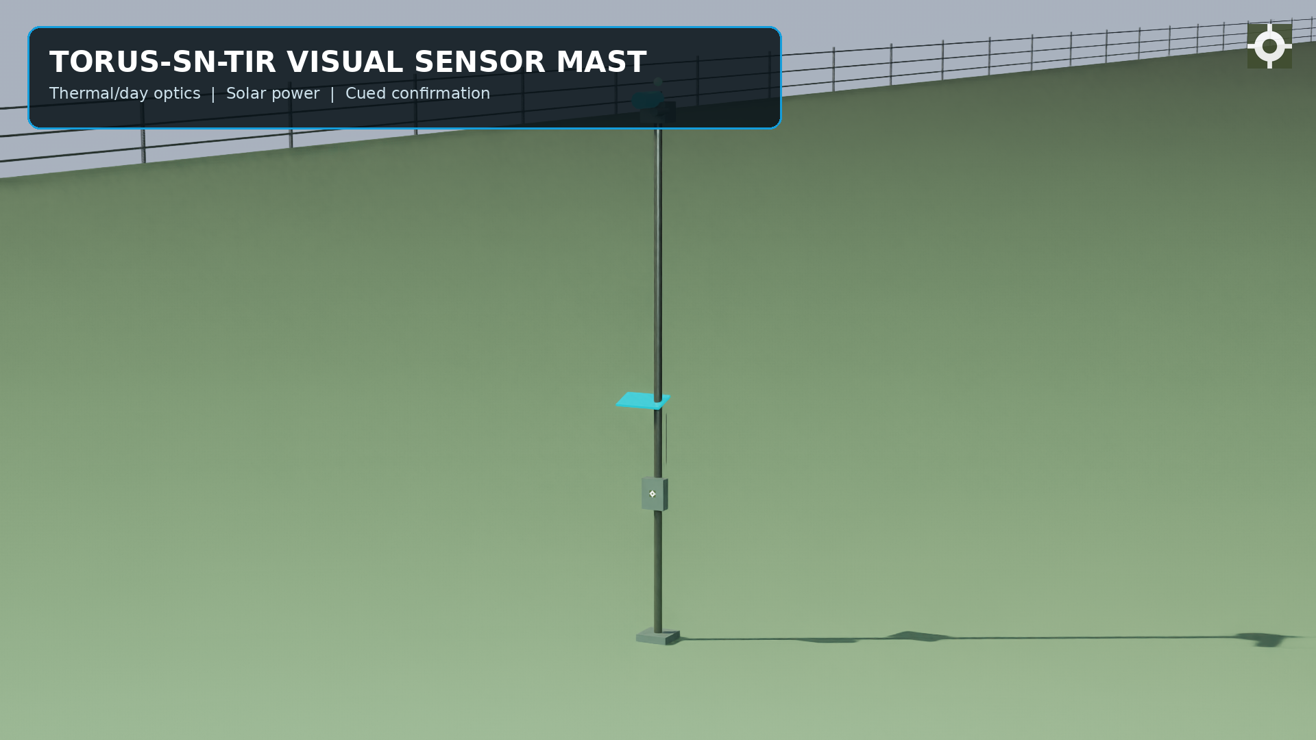
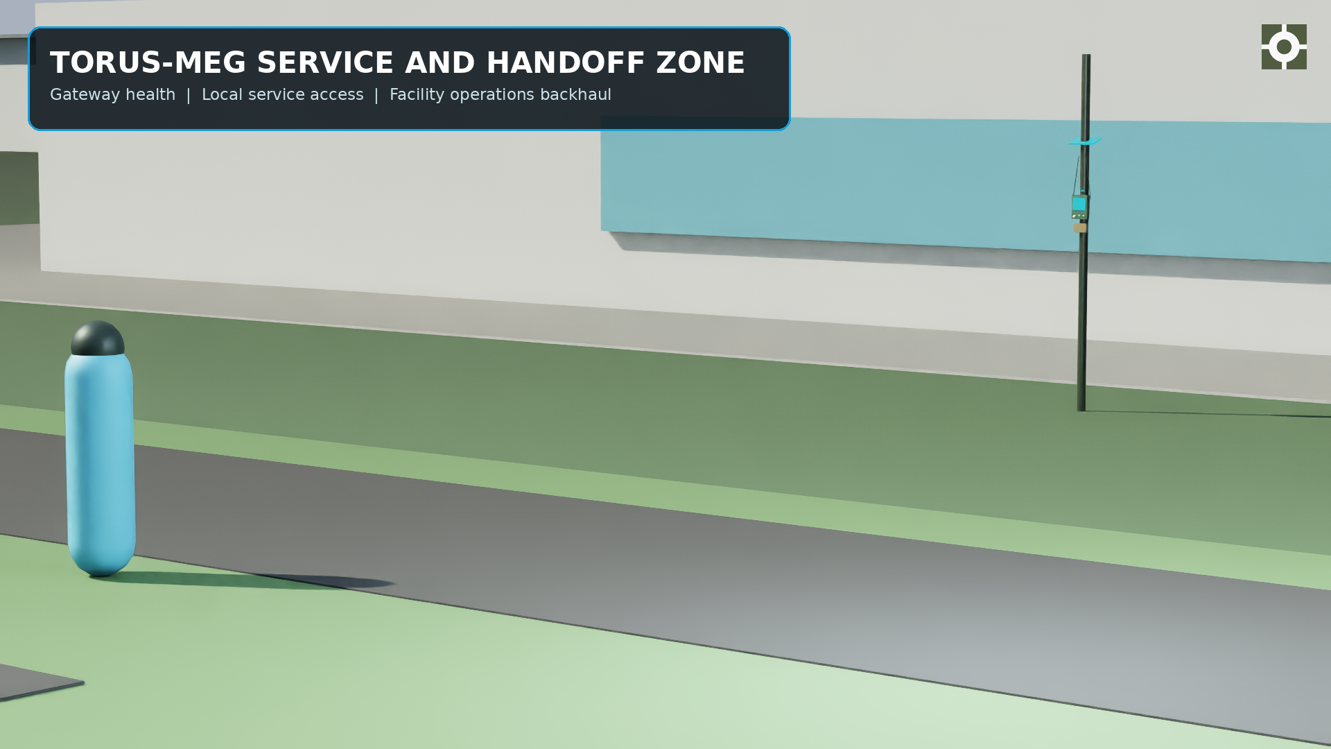
Nodes, gateways, and masts are procedural assets in the scene, so a scenario can move them, disable them, or fail their links and observe what the operator would actually have seen. The assets track the current industrial design, so the rehearsal shows the hardware that will actually be emplaced.
05 · Scenario and sensor simulation
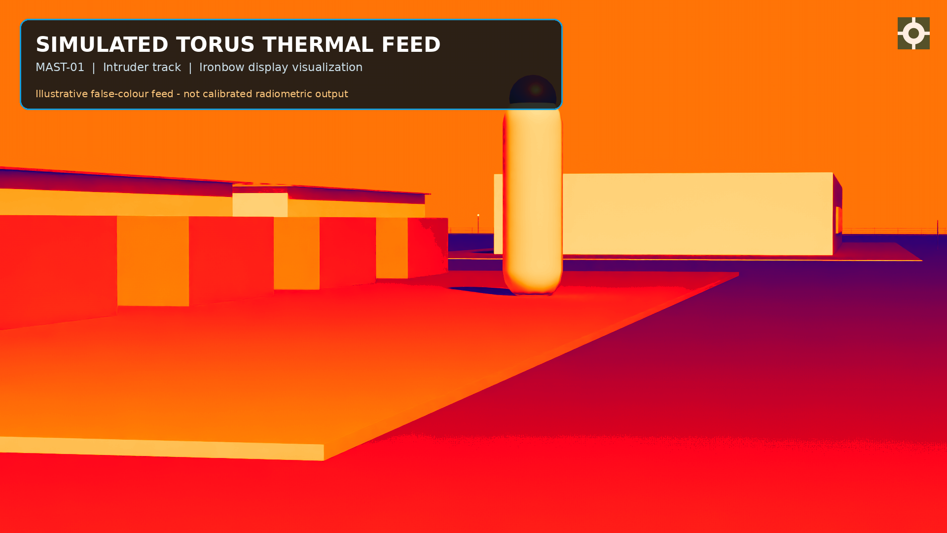
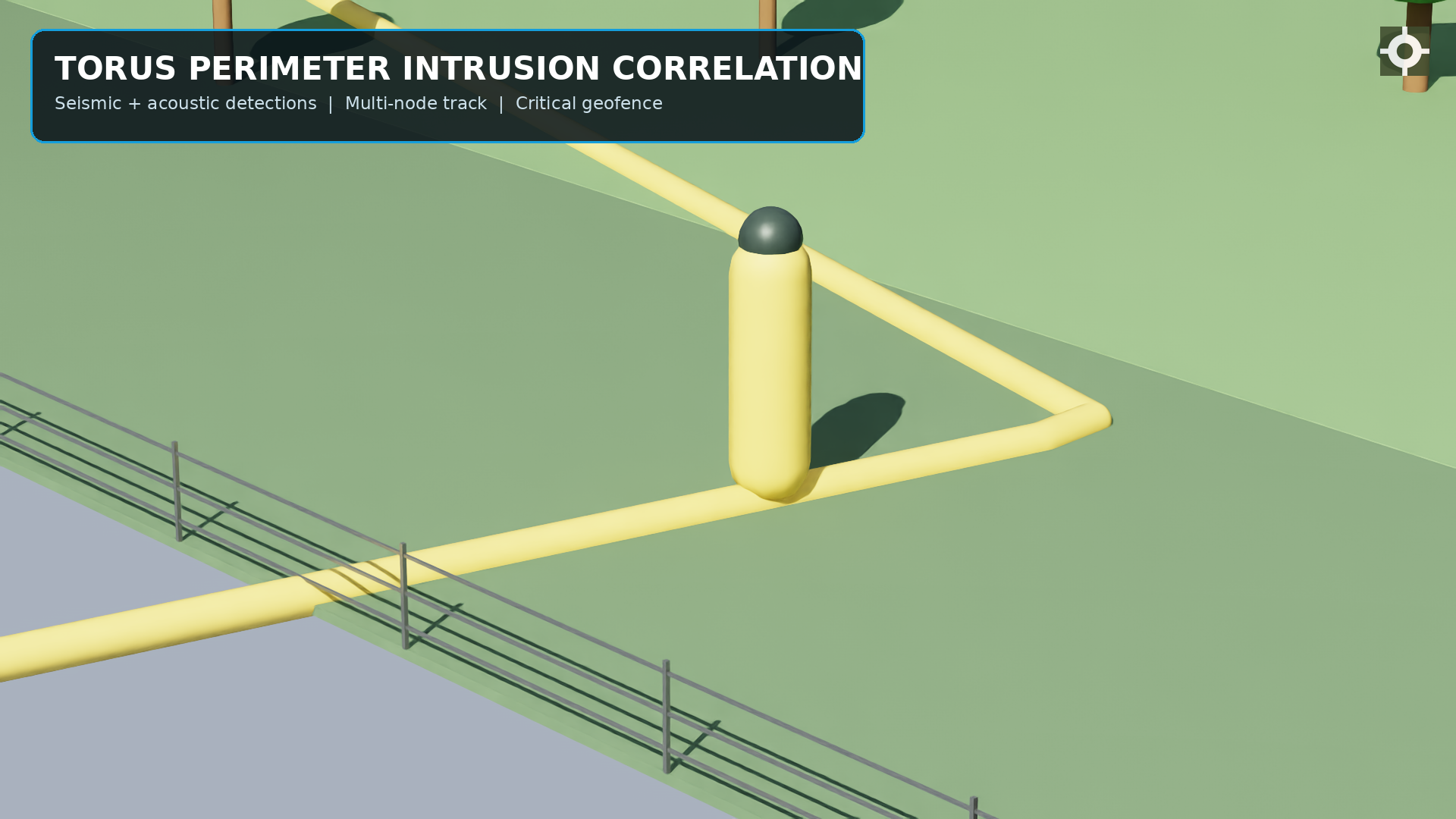
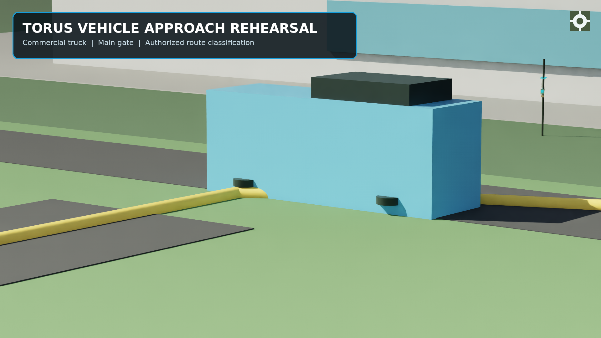
Campus-perimeter and utility-yard scenarios exercise the four object classes. The dependency-free planner produces ring placement, a seismic detection model, and SVG output without Isaac Sim installed; the full twin adds PhysX-based detection and visual-mast sensors.
| Output | Use |
|---|---|
| Node positions and ring geometry | Promoted directly into the live CCISRT picture as the commissioned plan. |
| Per-node gain and threshold settings | Pre-tuned against the simulated local noise floor rather than tuned by trial on site. |
| Detection and false-alarm rates per class | Acceptance evidence for the coverage design before hardware is committed. |
| Labelled scenario data | Training and validation data for the edge classifiers and the CCISRT correlator. |
| First-contact timing | Sample run: 8 nodes, 250 m ring, first contact at t+49 s on node SN-06, 4 nodes triggered along the track. |
06 · Site-fidelity checks
The twin keeps the protected asset, retention water, green buffers, and approach routes in the same scene so sight lines, access routes, material-loss assumptions, seismic coupling, and classification context can be reviewed together.